Penrhyndeudraeth, Castle Street
Introduction
The photograph on this page of Penrhyndeudraeth, Castle Street by David Dixon as part of the Geograph project.
The Geograph project started in 2005 with the aim of publishing, organising and preserving representative images for every square kilometre of Great Britain, Ireland and the Isle of Man.

There are currently over 7.5m images from over 14,400 individuals and you can help contribute to the project by visiting https://www.geograph.org.uk
Penrhyndeudraeth, Castle Street
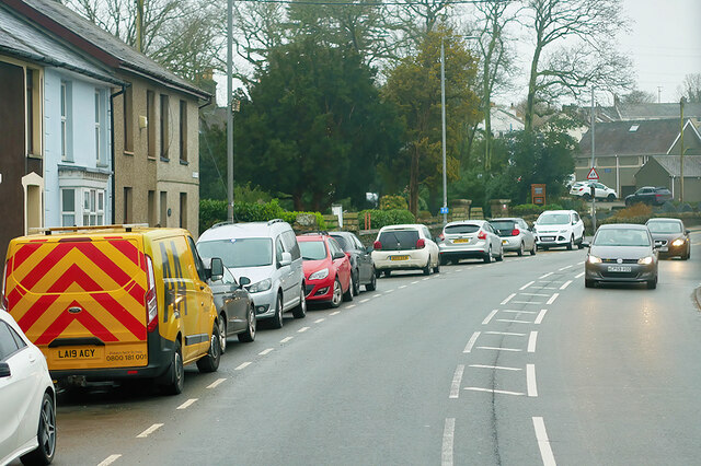
Image: © David Dixon Taken: 16 Feb 2022
Penrhyndeudraeth is a small town on the A487, close to the mouth of the River Dwyryd. Its population was recorded as 2150 at the 2011 census.
Images are licensed for reuse under creativecommons.org/licenses/by-sa/2.0
Image Location
Latitude
52.928944
Longitude
-4.06799