Rake Lane blockage
Introduction
The photograph on this page of Rake Lane blockage by Jim Barton as part of the Geograph project.
The Geograph project started in 2005 with the aim of publishing, organising and preserving representative images for every square kilometre of Great Britain, Ireland and the Isle of Man.

There are currently over 7.5m images from over 14,400 individuals and you can help contribute to the project by visiting https://www.geograph.org.uk
Rake Lane blockage
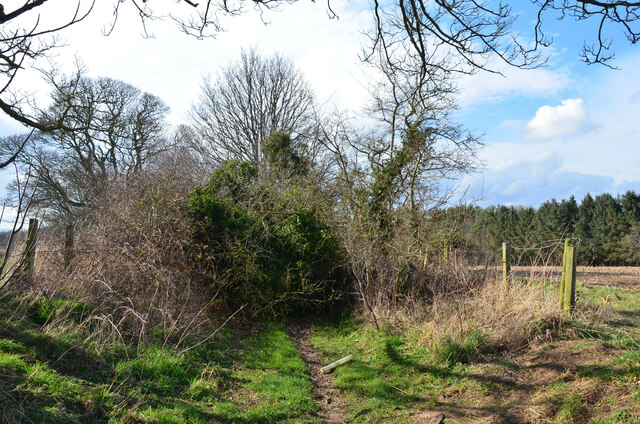
Image: © Jim Barton Taken: 15 Mar 2022
The track is comprehensively blocked here by bushes and fallen trees. However, the obstacle can be bypassed via the field on the north side, requiring a squeeze under the barbed wire to regain the track beyond in this view.
Images are licensed for reuse under creativecommons.org/licenses/by-sa/2.0
Image Location


Leaflet Map data © OpenStreetMap
Latitude
55.319391
Longitude
-1.646054