Grainger Drive Subway Parapet Benchmark
Introduction
The photograph on this page of Grainger Drive Subway Parapet Benchmark by Anthony Rowley as part of the Geograph project.
The Geograph project started in 2005 with the aim of publishing, organising and preserving representative images for every square kilometre of Great Britain, Ireland and the Isle of Man.

There are currently over 7.5m images from over 14,400 individuals and you can help contribute to the project by visiting https://www.geograph.org.uk
Grainger Drive Subway Parapet Benchmark
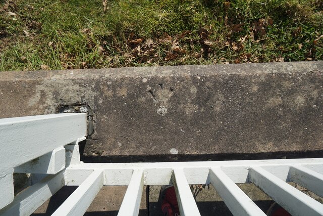
Image: © Anthony Rowley Taken: 18 Mar 2022
The Ordnance Survey Rivet Benchmark set into the parapet of a subway on Grainger Drive, Leegomery, Telford. It was both levelled and (last) verified by the OS in 1984. The recorded AODN is 79.61-metres
Images are licensed for reuse under creativecommons.org/licenses/by-sa/2.0
Image Location
Latitude
52.711007
Longitude
-2.508029