Gas pipe river crossing
Introduction
The photograph on this page of Gas pipe river crossing by John Phoenix as part of the Geograph project.
The Geograph project started in 2005 with the aim of publishing, organising and preserving representative images for every square kilometre of Great Britain, Ireland and the Isle of Man.

There are currently over 7.5m images from over 14,400 individuals and you can help contribute to the project by visiting https://www.geograph.org.uk
Gas pipe river crossing
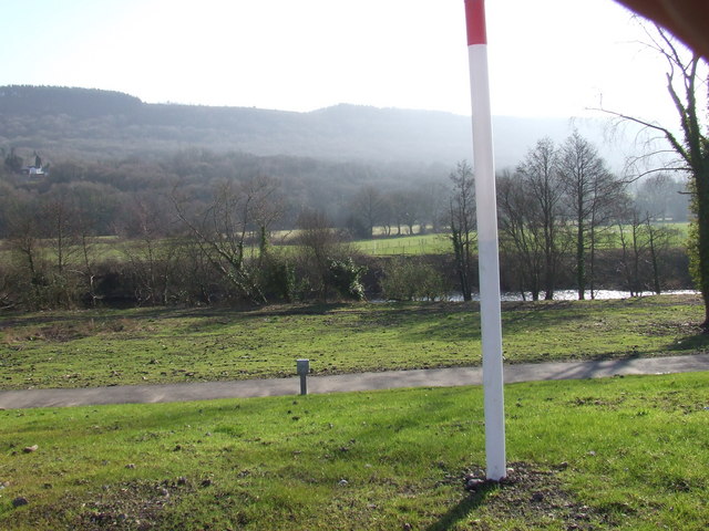
Image: © John Phoenix Taken: 14 Feb 2008
This is part of the route of the gas pipeline across South Wales after the pipe has been buried and covered. On this section the only clues to its being there are the marker posts.
Images are licensed for reuse under creativecommons.org/licenses/by-sa/2.0
Image Location
Latitude
51.711779
Longitude
-3.859185