Stone stile below Sudgrove House, Miserden GS1060
Introduction
The photograph on this page of Stone stile below Sudgrove House, Miserden GS1060 by Jon Maddocks as part of the Geograph project.
The Geograph project started in 2005 with the aim of publishing, organising and preserving representative images for every square kilometre of Great Britain, Ireland and the Isle of Man.

There are currently over 7.5m images from over 14,400 individuals and you can help contribute to the project by visiting https://www.geograph.org.uk
Stone stile below Sudgrove House, Miserden GS1060
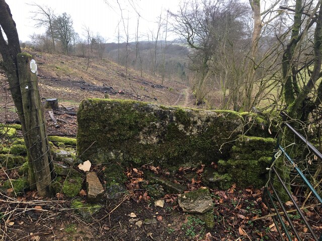
Image: © Jon Maddocks Taken: 21 Feb 2021
Stone slab stile at parish and field boundary below Sudgrove House, Miserden. On public right of way MMN33 where it joins BED33
Images are licensed for reuse under creativecommons.org/licenses/by-sa/2.0
Image Location
Latitude
51.766139
Longitude
-2.096606