Quay Point
Introduction
The photograph on this page of Quay Point by MSX as part of the Geograph project.
The Geograph project started in 2005 with the aim of publishing, organising and preserving representative images for every square kilometre of Great Britain, Ireland and the Isle of Man.

There are currently over 7.5m images from over 14,400 individuals and you can help contribute to the project by visiting https://www.geograph.org.uk
Quay Point
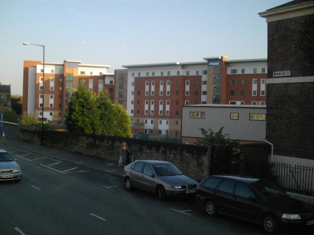
Image: © MSX Taken: 28 Oct 2005
Brand new apartments for students and key workers in Battle Field.
Images are licensed for reuse under creativecommons.org/licenses/by-sa/2.0
Image Location


Leaflet Map data © OpenStreetMap
Latitude
54.974466
Longitude
-1.603162