Riva Hill Farm
Introduction
The photograph on this page of Riva Hill Farm by Gordon Hatton as part of the Geograph project.
The Geograph project started in 2005 with the aim of publishing, organising and preserving representative images for every square kilometre of Great Britain, Ireland and the Isle of Man.

There are currently over 7.5m images from over 14,400 individuals and you can help contribute to the project by visiting https://www.geograph.org.uk
Riva Hill Farm
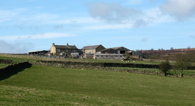
Image: © Gordon Hatton Taken: 2 Mar 2008
The farm is labelled as Riva Hill House on the 1:25000 map. Set high on a hillside at Brimham.
Images are licensed for reuse under creativecommons.org/licenses/by-sa/2.0
Image Location


Leaflet Map data © OpenStreetMap
Latitude
54.074883
Longitude
-1.665274