Auckland Way Railway Path
Introduction
The photograph on this page of Auckland Way Railway Path by David Robinson as part of the Geograph project.
The Geograph project started in 2005 with the aim of publishing, organising and preserving representative images for every square kilometre of Great Britain, Ireland and the Isle of Man.

There are currently over 7.5m images from over 14,400 individuals and you can help contribute to the project by visiting https://www.geograph.org.uk
Auckland Way Railway Path
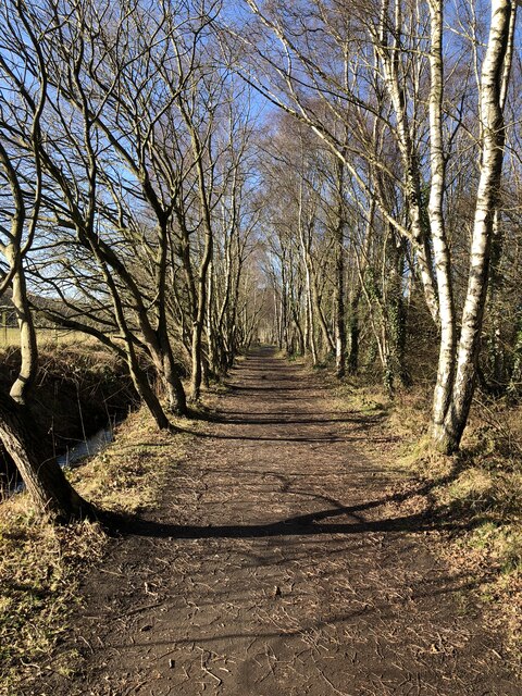
Image: © David Robinson Taken: 1 Mar 2022
The Auckland Way uses the former railway alignment between Bishop Auckland and Spennymoor. The earliest part of the railway opened in 1841, linking Byers Green to the Clarence Railway's route to Teesside at Ferryhill. The Clarence Railway was en early competitor to the Stockton & Darlington Railway, active in the transportation of coal from Durham collieries to ports on the Tees. The North Eastern Railway extended the line in 1885, infilling the gap between Bishop Auckland and Byers Green. The last part to open was the first to lose its passenger service in 1939, the remaining services to Spennymoor were withdrawn in 1952.
Images are licensed for reuse under creativecommons.org/licenses/by-sa/2.0
Image Location
Latitude
54.696523
Longitude
-1.634426