Space on the Corner of the A59 and Lower Poppleton Road
Introduction
The photograph on this page of Space on the Corner of the A59 and Lower Poppleton Road by Chris Heaton as part of the Geograph project.
The Geograph project started in 2005 with the aim of publishing, organising and preserving representative images for every square kilometre of Great Britain, Ireland and the Isle of Man.

There are currently over 7.5m images from over 14,400 individuals and you can help contribute to the project by visiting https://www.geograph.org.uk
Space on the Corner of the A59 and Lower Poppleton Road
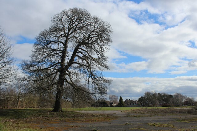
Image: © Chris Heaton Taken: 12 Mar 2022
On the western fringes of York, between Valeo Confectionery Factory and the A59 Boroughbridge Road. Signs indicate that the public should keep out - despite this, it seems a favourite destination for local dog walkers.
Images are licensed for reuse under creativecommons.org/licenses/by-sa/2.0
Image Location
Latitude
53.971011
Longitude
-1.131622