Leegomery Culvert Rivet Benchmark
Introduction
The photograph on this page of Leegomery Culvert Rivet Benchmark by Anthony Rowley as part of the Geograph project.
The Geograph project started in 2005 with the aim of publishing, organising and preserving representative images for every square kilometre of Great Britain, Ireland and the Isle of Man.

There are currently over 7.5m images from over 14,400 individuals and you can help contribute to the project by visiting https://www.geograph.org.uk
Leegomery Culvert Rivet Benchmark
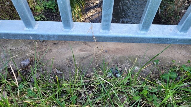
Image: © Anthony Rowley Taken: 14 Mar 2022
The Ordnance Survey Rivet benchmark with Crow's Foot set into a culvert near to the Leegomery Traffic Island in Telford. The Third Order benchmark was levelled & verified in 1984. The OS AODN is 66.853-metres.
Images are licensed for reuse under creativecommons.org/licenses/by-sa/2.0
Image Location
Latitude
52.717949
Longitude
-2.496903