Laverton, Stainmoor House
Introduction
The photograph on this page of Laverton, Stainmoor House by Mel Towler as part of the Geograph project.
The Geograph project started in 2005 with the aim of publishing, organising and preserving representative images for every square kilometre of Great Britain, Ireland and the Isle of Man.

There are currently over 7.5m images from over 14,400 individuals and you can help contribute to the project by visiting https://www.geograph.org.uk
Laverton, Stainmoor House
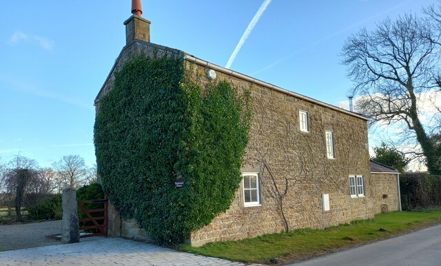
Image: © Mel Towler Taken: 9 Feb 2022
There is a benchmark https://www.geograph.org.uk/photo/7118834 cut into the 2nd course of stone, into a left hand cornerstone of the house. It is directly below the ivy.
Images are licensed for reuse under creativecommons.org/licenses/by-sa/2.0
Image Location
Latitude
54.15808
Longitude
-1.655569