Hermons Hill
Introduction
The photograph on this page of Hermons Hill by Adrian Taylor as part of the Geograph project.
The Geograph project started in 2005 with the aim of publishing, organising and preserving representative images for every square kilometre of Great Britain, Ireland and the Isle of Man.

There are currently over 7.5m images from over 14,400 individuals and you can help contribute to the project by visiting https://www.geograph.org.uk
Hermons Hill
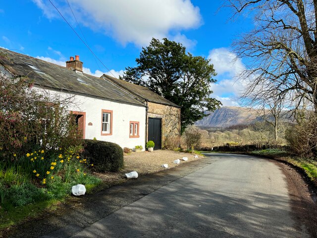
Image: © Adrian Taylor Taken: 12 Mar 2022
The road is from Gosforth to Nether Wasdale and the mountain in the background is Whin Rigg. There are two Ordnance Survey benchmarks on the corner of the barn behind the bush at the far end of the building (photograph Image).
Images are licensed for reuse under creativecommons.org/licenses/by-sa/2.0
Image Location
Latitude
54.425806
Longitude
-3.38284