Moor Lane
Introduction
The photograph on this page of Moor Lane by Chris Heaton as part of the Geograph project.
The Geograph project started in 2005 with the aim of publishing, organising and preserving representative images for every square kilometre of Great Britain, Ireland and the Isle of Man.

There are currently over 7.5m images from over 14,400 individuals and you can help contribute to the project by visiting https://www.geograph.org.uk
Moor Lane
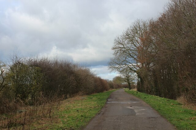
Image: © Chris Heaton Taken: 12 Mar 2022
Bridleway heading across Knapton Moor. It is part of a new cycleway that stretches from Knapton to Rufforth, although not notated on the OS Map as yet.
Images are licensed for reuse under creativecommons.org/licenses/by-sa/2.0
Image Location
Latitude
53.965571
Longitude
-1.150179