Cherry Hinton: the beginnings of Trinity Fields
Introduction
The photograph on this page of Cherry Hinton: the beginnings of Trinity Fields by John Sutton as part of the Geograph project.
The Geograph project started in 2005 with the aim of publishing, organising and preserving representative images for every square kilometre of Great Britain, Ireland and the Isle of Man.

There are currently over 7.5m images from over 14,400 individuals and you can help contribute to the project by visiting https://www.geograph.org.uk
Cherry Hinton: the beginnings of Trinity Fields
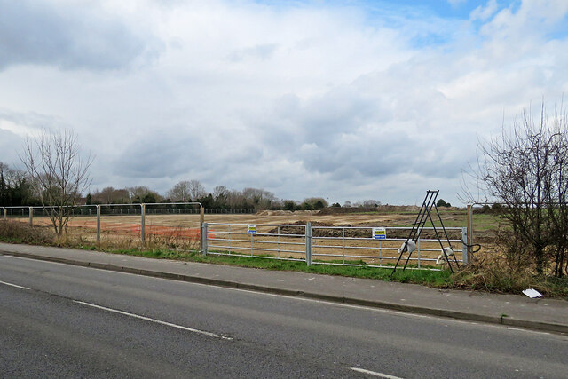
Image: © John Sutton Taken: 13 Mar 2022
Trinity Fields is to be a housing development on the northern edge of Cherry Hinton. Image] shows the site being cleared in February 2021.
Images are licensed for reuse under creativecommons.org/licenses/by-sa/2.0
Image Location
Latitude
52.195441
Longitude
0.182664