Horsehay Water Pumping Station
Introduction
The photograph on this page of Horsehay Water Pumping Station by Anthony Rowley as part of the Geograph project.
The Geograph project started in 2005 with the aim of publishing, organising and preserving representative images for every square kilometre of Great Britain, Ireland and the Isle of Man.

There are currently over 7.5m images from over 14,400 individuals and you can help contribute to the project by visiting https://www.geograph.org.uk
Horsehay Water Pumping Station
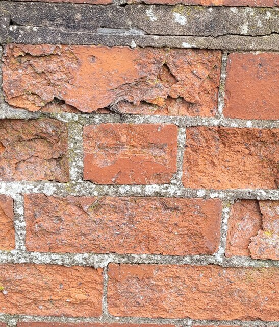
Image: © Anthony Rowley Taken: 9 Mar 2022
The Ordnance Survey Datum Line with crow's Foot cut into the wall of the Severn Trent Pumping Station in Horsehay, Telford. The OS last verified the Third Order Benchmark in 1960. It height AODN is recorded by the OS as 175.964-metres.
Images are licensed for reuse under creativecommons.org/licenses/by-sa/2.0
Image Location
Latitude
52.659561
Longitude
-2.490445