Bridleway towards Westerdale
Introduction
The photograph on this page of Bridleway towards Westerdale by Gordon Hatton as part of the Geograph project.
The Geograph project started in 2005 with the aim of publishing, organising and preserving representative images for every square kilometre of Great Britain, Ireland and the Isle of Man.

There are currently over 7.5m images from over 14,400 individuals and you can help contribute to the project by visiting https://www.geograph.org.uk
Bridleway towards Westerdale
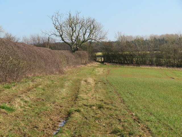
Image: © Gordon Hatton Taken: 10 Mar 2022
Heading east towards Westerdale farm on bridleway number 25.51/6. The surface looks pleasantly grassy, but beneath lurks mud of the liquid variety, so a step forward may result in a squirt of mud up the trouser leg.
Images are licensed for reuse under creativecommons.org/licenses/by-sa/2.0
Image Location
Latitude
54.115661
Longitude
-0.865623