The former Cleveland Arms, High Ercall
Introduction
The photograph on this page of The former Cleveland Arms, High Ercall by Richard Law as part of the Geograph project.
The Geograph project started in 2005 with the aim of publishing, organising and preserving representative images for every square kilometre of Great Britain, Ireland and the Isle of Man.

There are currently over 7.5m images from over 14,400 individuals and you can help contribute to the project by visiting https://www.geograph.org.uk
The former Cleveland Arms, High Ercall
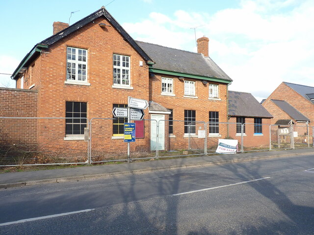
Image: © Richard Law Taken: 10 Mar 2022
Looks like Image has closed. Whether this happened before, or during, the 2020/2021 Covid pandemic is not entirely clear.
Images are licensed for reuse under creativecommons.org/licenses/by-sa/2.0
Image Location
Latitude
52.754206
Longitude
-2.603135