Woodland Path near Bull Meadow
Introduction
The photograph on this page of Woodland Path near Bull Meadow by Adrian Benn as part of the Geograph project.
The Geograph project started in 2005 with the aim of publishing, organising and preserving representative images for every square kilometre of Great Britain, Ireland and the Isle of Man.

There are currently over 7.5m images from over 14,400 individuals and you can help contribute to the project by visiting https://www.geograph.org.uk
Woodland Path near Bull Meadow
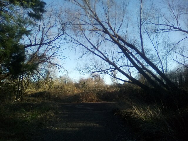
Image: © Adrian Benn Taken: 27 Feb 2022
A path in scrub and woodland looking towards the site of a former nursery/garden centre. The path is leading away from the entrance to Bull Meadow allotment site.
Images are licensed for reuse under creativecommons.org/licenses/by-sa/2.0
Image Location


Leaflet Map data © OpenStreetMap
Latitude
51.477834
Longitude
0.345964