Where the road crosses the East Burn
Introduction
The photograph on this page of Where the road crosses the East Burn by Alec MacKinnon as part of the Geograph project.
The Geograph project started in 2005 with the aim of publishing, organising and preserving representative images for every square kilometre of Great Britain, Ireland and the Isle of Man.

There are currently over 7.5m images from over 14,400 individuals and you can help contribute to the project by visiting https://www.geograph.org.uk
Where the road crosses the East Burn
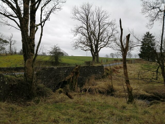
Image: © Alec MacKinnon Taken: 9 Mar 2022
East Burn eventually runs into the Annick Water in Stewarton. Here it runs under a minor road, recently resurfaced, among the fields north of Stewarton.
Images are licensed for reuse under creativecommons.org/licenses/by-sa/2.0
Image Location
Latitude
55.711885
Longitude
-4.488129