End of Bluebell Railway, East Grinstead
Introduction
The photograph on this page of End of Bluebell Railway, East Grinstead by Robin Webster as part of the Geograph project.
The Geograph project started in 2005 with the aim of publishing, organising and preserving representative images for every square kilometre of Great Britain, Ireland and the Isle of Man.

There are currently over 7.5m images from over 14,400 individuals and you can help contribute to the project by visiting https://www.geograph.org.uk
End of Bluebell Railway, East Grinstead
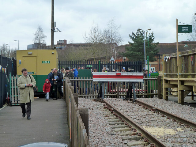
Image: © Robin Webster Taken: 29 Mar 2013
The northernmost point reached by the heritage railway. This was six days after the extension from Kingscote to East Grinstead was opened to public running.
Images are licensed for reuse under creativecommons.org/licenses/by-sa/2.0
Image Location
Latitude
51.12539
Longitude
-0.018938