Pale Flatts Farm
Introduction
The photograph on this page of Pale Flatts Farm by Malcolm Neal as part of the Geograph project.
The Geograph project started in 2005 with the aim of publishing, organising and preserving representative images for every square kilometre of Great Britain, Ireland and the Isle of Man.

There are currently over 7.5m images from over 14,400 individuals and you can help contribute to the project by visiting https://www.geograph.org.uk
Pale Flatts Farm
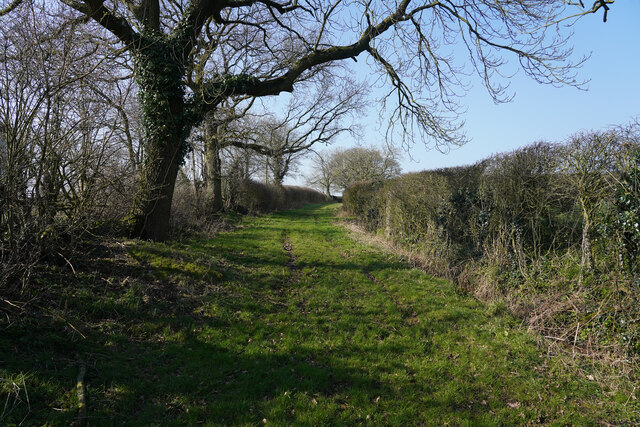
Image: © Malcolm Neal Taken: 8 Mar 2022
The track is gated but is a public footpath which I think leads, eventually, to a wind turbine.
Images are licensed for reuse under creativecommons.org/licenses/by-sa/2.0
Image Location


Leaflet Map data © OpenStreetMap
Latitude
52.932957
Longitude
-1.8857