Spriteshall Lane Water Tower
Introduction
The photograph on this page of Spriteshall Lane Water Tower by Nat Bocking as part of the Geograph project.
The Geograph project started in 2005 with the aim of publishing, organising and preserving representative images for every square kilometre of Great Britain, Ireland and the Isle of Man.

There are currently over 7.5m images from over 14,400 individuals and you can help contribute to the project by visiting https://www.geograph.org.uk
Spriteshall Lane Water Tower
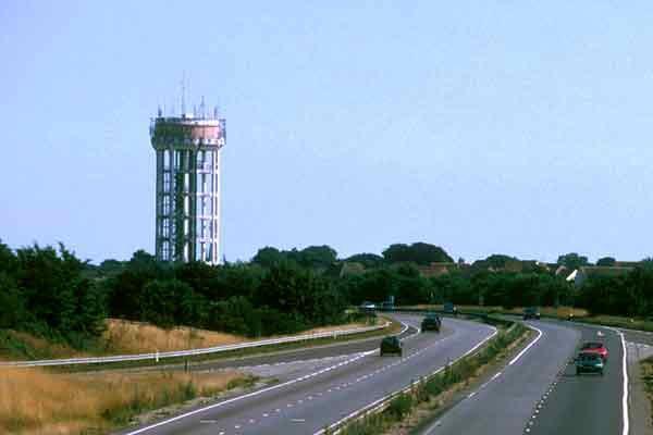
Image: © Nat Bocking Taken: Unknown
145 foot tall tower is the highest 'open leg' tower in the UK.
Images are licensed for reuse under creativecommons.org/licenses/by-sa/2.0
Image Location
Latitude
51.978924
Longitude
1.330201