Flint Mill Grange
Introduction
The photograph on this page of Flint Mill Grange by Gordon Hatton as part of the Geograph project.
The Geograph project started in 2005 with the aim of publishing, organising and preserving representative images for every square kilometre of Great Britain, Ireland and the Isle of Man.

There are currently over 7.5m images from over 14,400 individuals and you can help contribute to the project by visiting https://www.geograph.org.uk
Flint Mill Grange
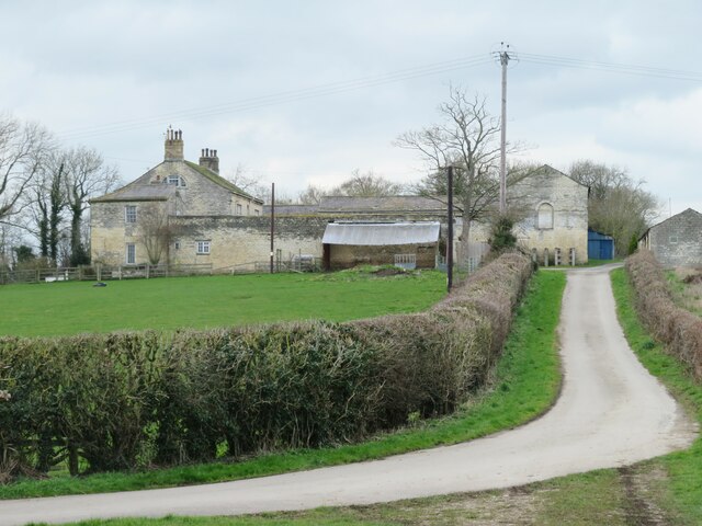
Image: © Gordon Hatton Taken: 7 Mar 2022
Grade 2 listed eighteenth century property with barns. The approach lane here is part of the Ebor way. Beyond the barns is mud of a particularly unpleasant and slippery kind.
Images are licensed for reuse under creativecommons.org/licenses/by-sa/2.0
Image Location
Latitude
53.920655
Longitude
-1.356498