
A Picturesque Strip
Introduction
The photograph on this page of A Picturesque Strip by Ian Dodds as part of the Geograph project.
The Geograph project started in 2005 with the aim of publishing, organising and preserving representative images for every square kilometre of Great Britain, Ireland and the Isle of Man.

There are currently over 7.5m images from over 14,400 individuals and you can help contribute to the project by visiting https://www.geograph.org.uk
A Picturesque Strip
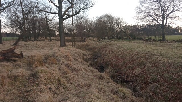
Image: © Ian Dodds Taken: 7 Mar 2022
This narrow and tapering strip of land runs from a fence a hundred or so yards South of this spot, until the unnamed small burn running through it reaches an early section of the River Almond about a quarter of a mile to the North at the strip's narrowest point. The burn - which I shall christen Greenrigg Burn, as it runs close by the farm of that name South of here - is small with a decent steady flow, and flows through the strip with the odd zig-zag here and there. The strip, shaded green on the OS map in this part, doesn't quite constitute a wood; it is more a loose collection of low trees between open gently sloping fields. Everything combines to make this a rather pretty place. Although it looks like Greenrigg Burn rises quite close to the farm, closer inspection of the mapping shows that it starts further South, but occasionally disappears into and reappears out of marshy bits, which explains why it contains quite a bit of water.
Images are licensed for reuse under creativecommons.org/licenses/by-sa/2.0
Image Location

Latitude
55.856586
Longitude
-3.734565