Benchmark, Santon Bridge, Force Bank
Introduction
The photograph on this page of Benchmark, Santon Bridge, Force Bank by Adrian Taylor as part of the Geograph project.
The Geograph project started in 2005 with the aim of publishing, organising and preserving representative images for every square kilometre of Great Britain, Ireland and the Isle of Man.

There are currently over 7.5m images from over 14,400 individuals and you can help contribute to the project by visiting https://www.geograph.org.uk
Benchmark, Santon Bridge, Force Bank
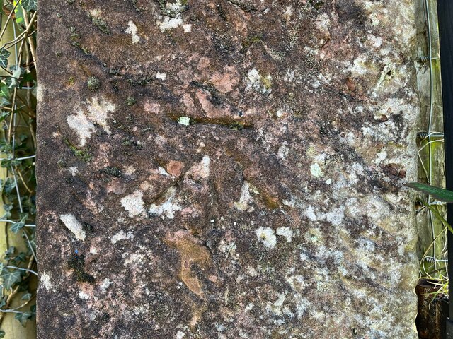
Image: © Adrian Taylor Taken: 5 Mar 2022
Detail of the Ordnance Survey cut benchmark on a sandstone field gatepost at Force Bank. The benchmark marks a height of 32.8209m above mean sea level (Ordnance Datum Newlyn) last verified in 1956 (location photograph Image). The benchmark is worn and so well camouflaged with lichen that it is difficult to see.
Images are licensed for reuse under creativecommons.org/licenses/by-sa/2.0
Image Location
Latitude
54.400544
Longitude
-3.373949