Riverdale
Introduction
The photograph on this page of Riverdale by Ian Capper as part of the Geograph project.
The Geograph project started in 2005 with the aim of publishing, organising and preserving representative images for every square kilometre of Great Britain, Ireland and the Isle of Man.

There are currently over 7.5m images from over 14,400 individuals and you can help contribute to the project by visiting https://www.geograph.org.uk
Riverdale
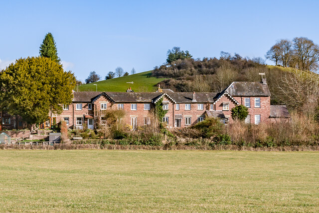
Image: © Ian Capper Taken: 25 Feb 2022
Former workhouse, the Abbey Dore Union Workhouse, built in 1837-8. It was converted to housing after the Second World War and is now named Riverdale. For full history see https://htt.herefordshire.gov.uk/1295.aspx.
Images are licensed for reuse under creativecommons.org/licenses/by-sa/2.0
Image Location
Latitude
51.988714
Longitude
-2.897795