Footpath towards Hudwick Dingle
Introduction
The photograph on this page of Footpath towards Hudwick Dingle by Richard Law as part of the Geograph project.
The Geograph project started in 2005 with the aim of publishing, organising and preserving representative images for every square kilometre of Great Britain, Ireland and the Isle of Man.

There are currently over 7.5m images from over 14,400 individuals and you can help contribute to the project by visiting https://www.geograph.org.uk
Footpath towards Hudwick Dingle
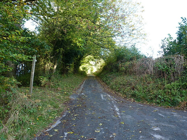
Image: © Richard Law Taken: 30 Oct 2021
This track is also a public footpath, leading to a network of paths between here and Middleton Baggot a couple of miles to the south.
Images are licensed for reuse under creativecommons.org/licenses/by-sa/2.0
Image Location
Latitude
52.530979
Longitude
-2.549803