Public footpath off Melbourne Avenue, Newington
Introduction
The photograph on this page of Public footpath off Melbourne Avenue, Newington by Christine Johnstone as part of the Geograph project.
The Geograph project started in 2005 with the aim of publishing, organising and preserving representative images for every square kilometre of Great Britain, Ireland and the Isle of Man.

There are currently over 7.5m images from over 14,400 individuals and you can help contribute to the project by visiting https://www.geograph.org.uk
Public footpath off Melbourne Avenue, Newington
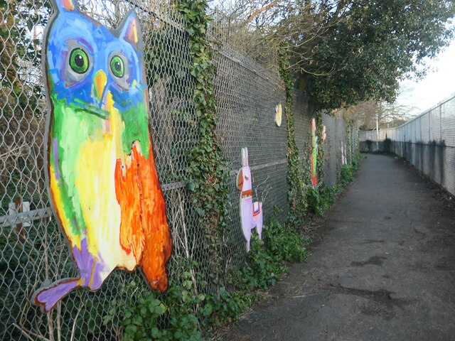
Image: © Christine Johnstone Taken: 17 Feb 2022
Fenced off from 'The Copse' on one side and Newington Community Primary School on the other. The schoolchildren designed the artwork. This footpath is shown on the large scale OS map from the 1870s, when it led to St Lawrence's Church.
Images are licensed for reuse under creativecommons.org/licenses/by-sa/2.0
Image Location
Latitude
51.342454
Longitude
1.392974