Housing on Hurst Grove, Ramsgate
Introduction
The photograph on this page of Housing on Hurst Grove, Ramsgate by Christine Johnstone as part of the Geograph project.
The Geograph project started in 2005 with the aim of publishing, organising and preserving representative images for every square kilometre of Great Britain, Ireland and the Isle of Man.

There are currently over 7.5m images from over 14,400 individuals and you can help contribute to the project by visiting https://www.geograph.org.uk
Housing on Hurst Grove, Ramsgate
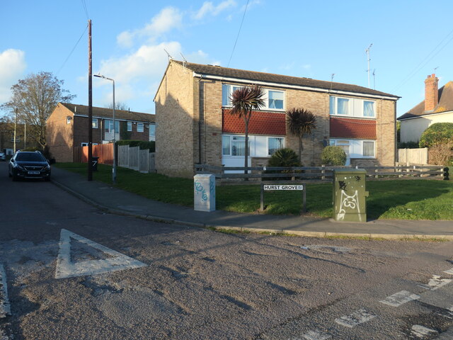
Image: © Christine Johnstone Taken: 17 Feb 2022
The road runs north from Whitehall Road, on the line of the former Margate Branch of the South Eastern Railway.
Images are licensed for reuse under creativecommons.org/licenses/by-sa/2.0
Image Location
Latitude
51.344365
Longitude
1.404606