Benchmark on Manor Road, Catcott
Introduction
The photograph on this page of Benchmark on Manor Road, Catcott by Neil Owen as part of the Geograph project.
The Geograph project started in 2005 with the aim of publishing, organising and preserving representative images for every square kilometre of Great Britain, Ireland and the Isle of Man.

There are currently over 7.5m images from over 14,400 individuals and you can help contribute to the project by visiting https://www.geograph.org.uk
Benchmark on Manor Road, Catcott
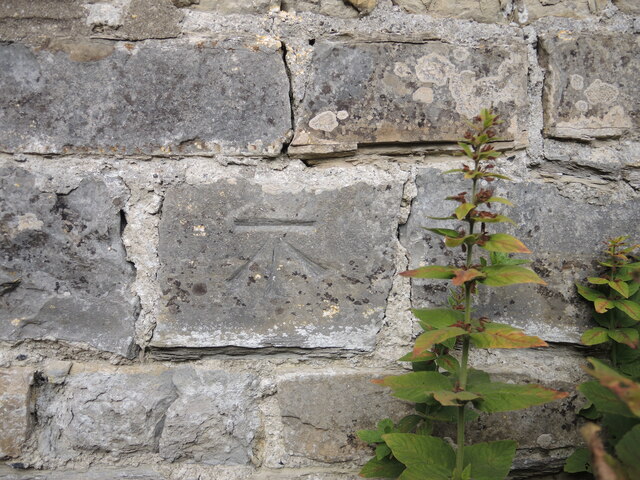
Image: © Neil Owen Taken: 14 Oct 2021
A more recent addition to the list on an outbuilding in the village. See https://www.bench-marks.org.uk/bm164645 for the entry in the Benchmark Database and Image] for a wider view.
Images are licensed for reuse under creativecommons.org/licenses/by-sa/2.0
Image Location
Latitude
51.14945
Longitude
-2.869914