OS Bench Mark
Introduction
The photograph on this page of OS Bench Mark by Phil Johnstone as part of the Geograph project.
The Geograph project started in 2005 with the aim of publishing, organising and preserving representative images for every square kilometre of Great Britain, Ireland and the Isle of Man.

There are currently over 7.5m images from over 14,400 individuals and you can help contribute to the project by visiting https://www.geograph.org.uk
OS Bench Mark
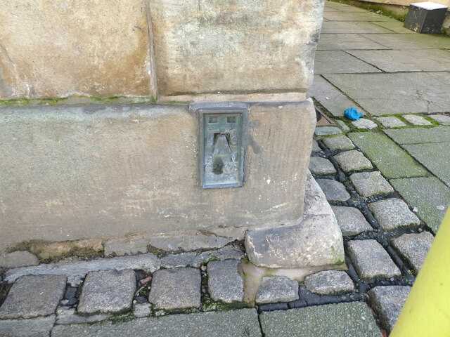
Image: © Phil Johnstone Taken: 1 Mar 2022
OS flush bracket bench mark (no. G2784) on old town hall in High Street. 20.91 m above datum.
Images are licensed for reuse under creativecommons.org/licenses/by-sa/2.0
Image Location
Latitude
53.900376
Longitude
-2.774307