Housing development at Backworth
Introduction
The photograph on this page of Housing development at Backworth by Stephen McKay as part of the Geograph project.
The Geograph project started in 2005 with the aim of publishing, organising and preserving representative images for every square kilometre of Great Britain, Ireland and the Isle of Man.

There are currently over 7.5m images from over 14,400 individuals and you can help contribute to the project by visiting https://www.geograph.org.uk
Housing development at Backworth
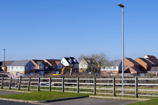
Image: © Stephen McKay Taken: 27 Feb 2022
Seen from the car park of The Pavilion, the land between the fence and the existing houses is being developed for further new housing.
Images are licensed for reuse under creativecommons.org/licenses/by-sa/2.0
Image Location
Latitude
55.034576
Longitude
-1.525591