Platform 2, Whitehaven Station
Introduction
The photograph on this page of Platform 2, Whitehaven Station by Adrian Taylor as part of the Geograph project.
The Geograph project started in 2005 with the aim of publishing, organising and preserving representative images for every square kilometre of Great Britain, Ireland and the Isle of Man.

There are currently over 7.5m images from over 14,400 individuals and you can help contribute to the project by visiting https://www.geograph.org.uk
Platform 2, Whitehaven Station
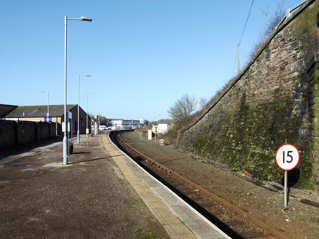
Image: © Adrian Taylor Taken: 21 Feb 2022
Platform 2 at Whitehaven Station, formerly known as Whitehaven Bransty Station to distinguish it from Whitehaven Corkickle Station at the other end of Whitehaven Tunnel, the entrance of which is directly behind the photographer (see Image). The 15 sign denotes a speed restriction of 15 miles per hour for down (northbound) trains through the sharply curved station platform.
Images are licensed for reuse under creativecommons.org/licenses/by-sa/2.0
Image Location
Latitude
54.553192
Longitude
-3.586893