Military buildings and the road to Netheravon
Introduction
The photograph on this page of Military buildings and the road to Netheravon by Brian Robert Marshall as part of the Geograph project.
The Geograph project started in 2005 with the aim of publishing, organising and preserving representative images for every square kilometre of Great Britain, Ireland and the Isle of Man.

There are currently over 7.5m images from over 14,400 individuals and you can help contribute to the project by visiting https://www.geograph.org.uk
Military buildings and the road to Netheravon
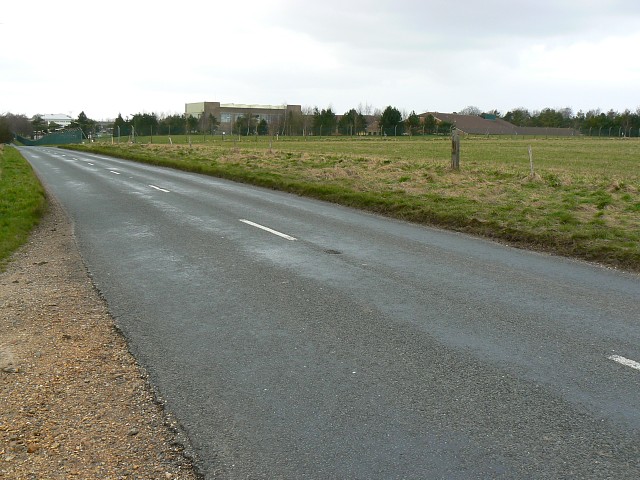
Image: © Brian Robert Marshall Taken: 2 Mar 2008
Viewed facing west north west. The buildings towards the right are in this square. The ones towards the left are in SU1555. The southern gridline is about 30 metres south of the viewpoint.
Images are licensed for reuse under creativecommons.org/licenses/by-sa/2.0
Image Location
Latitude
51.294805
Longitude
-1.770624