Manor House at cross roads
Introduction
The photograph on this page of Manor House at cross roads by Roger Templeman as part of the Geograph project.
The Geograph project started in 2005 with the aim of publishing, organising and preserving representative images for every square kilometre of Great Britain, Ireland and the Isle of Man.

There are currently over 7.5m images from over 14,400 individuals and you can help contribute to the project by visiting https://www.geograph.org.uk
Manor House at cross roads
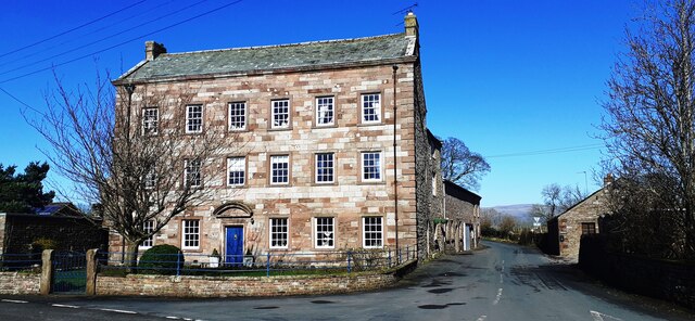
Image: © Roger Templeman Taken: 1 Mar 2022
There is an Ordnance Survey benchmark Image on the side of the house (on Manor House Wynd) at its front corner. The house has a 1726 date stone above its front door
Images are licensed for reuse under creativecommons.org/licenses/by-sa/2.0
Image Location


Leaflet Map data © OpenStreetMap
Latitude
54.490363
Longitude
-2.3348