Lane and Gas pipeline marker
Introduction
The photograph on this page of Lane and Gas pipeline marker by Nigel Mykura as part of the Geograph project.
The Geograph project started in 2005 with the aim of publishing, organising and preserving representative images for every square kilometre of Great Britain, Ireland and the Isle of Man.

There are currently over 7.5m images from over 14,400 individuals and you can help contribute to the project by visiting https://www.geograph.org.uk
Lane and Gas pipeline marker
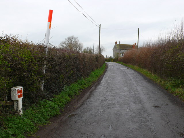
Image: © Nigel Mykura Taken: 29 Feb 2008
This is the lane between Hornblotton Green and Lovington just south of Hornblotton and north of Rectory Farm. The bright marker post shows the position of a gas pipeline clearly visible from the air.
Images are licensed for reuse under creativecommons.org/licenses/by-sa/2.0
Image Location
Latitude
51.095744
Longitude
-2.584582