Leisure path, west of 'The Meadow'
Introduction
The photograph on this page of Leisure path, west of 'The Meadow' by Christine Johnstone as part of the Geograph project.
The Geograph project started in 2005 with the aim of publishing, organising and preserving representative images for every square kilometre of Great Britain, Ireland and the Isle of Man.

There are currently over 7.5m images from over 14,400 individuals and you can help contribute to the project by visiting https://www.geograph.org.uk
Leisure path, west of 'The Meadow'
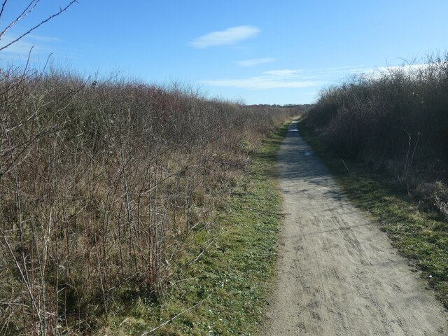
Image: © Christine Johnstone Taken: 17 Feb 2022
This site was originally Foulmead Marsh, and then the spoil heap for Betteshanger Colliery. The pit opened in the late 1920s and closed in 1989. Fowlmead Park and nature reserve opened here in May 2007. When it was taken over by the Hadlow Group in May 2015, it was renamed Betteshanger Country Park. More recently the 'Country' has been dropped. Leisure paths are for walkers and cyclists.
Images are licensed for reuse under creativecommons.org/licenses/by-sa/2.0
Image Location
Latitude
51.233813
Longitude
1.367345