Back Lane Near Sea Mills Farm
Introduction
The photograph on this page of Back Lane Near Sea Mills Farm by Nigel Mykura as part of the Geograph project.
The Geograph project started in 2005 with the aim of publishing, organising and preserving representative images for every square kilometre of Great Britain, Ireland and the Isle of Man.

There are currently over 7.5m images from over 14,400 individuals and you can help contribute to the project by visiting https://www.geograph.org.uk
Back Lane Near Sea Mills Farm
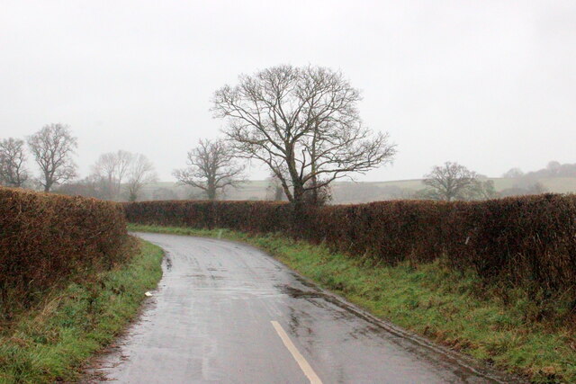
Image: © Nigel Mykura Taken: 28 Feb 2022
This lane does goes along to Watery Lane which then loops back round to join the lane it has come from
Images are licensed for reuse under creativecommons.org/licenses/by-sa/2.0
Image Location
Latitude
50.912441
Longitude
-2.935755