Footpath to Garth Farm
Introduction
The photograph on this page of Footpath to Garth Farm by David Quinn as part of the Geograph project.
The Geograph project started in 2005 with the aim of publishing, organising and preserving representative images for every square kilometre of Great Britain, Ireland and the Isle of Man.

There are currently over 7.5m images from over 14,400 individuals and you can help contribute to the project by visiting https://www.geograph.org.uk
Footpath to Garth Farm
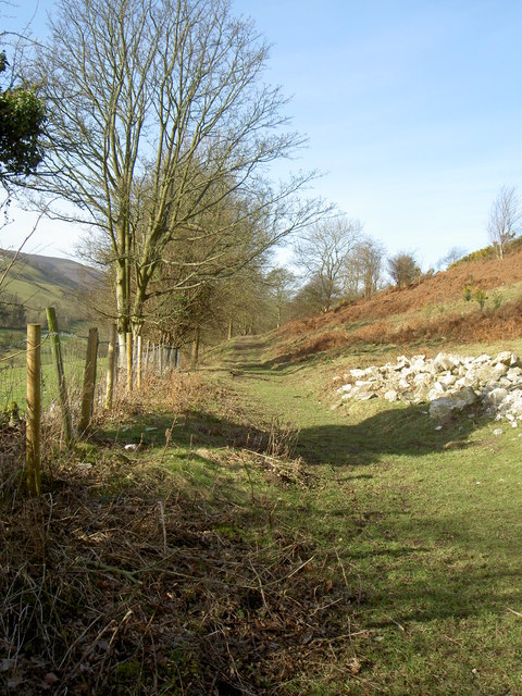
Image: © David Quinn Taken: 2 Mar 2008
The footpath travels along the north side of the Nant Gain valley before meeting the Cilcain Reservoirs and then Garth Farm.
Images are licensed for reuse under creativecommons.org/licenses/by-sa/2.0
Image Location
Latitude
53.174372
Longitude
-3.241129