Storm Damage at Sanderling View
Introduction
The photograph on this page of Storm Damage at Sanderling View by Ian Paterson as part of the Geograph project.
The Geograph project started in 2005 with the aim of publishing, organising and preserving representative images for every square kilometre of Great Britain, Ireland and the Isle of Man.

There are currently over 7.5m images from over 14,400 individuals and you can help contribute to the project by visiting https://www.geograph.org.uk
Storm Damage at Sanderling View
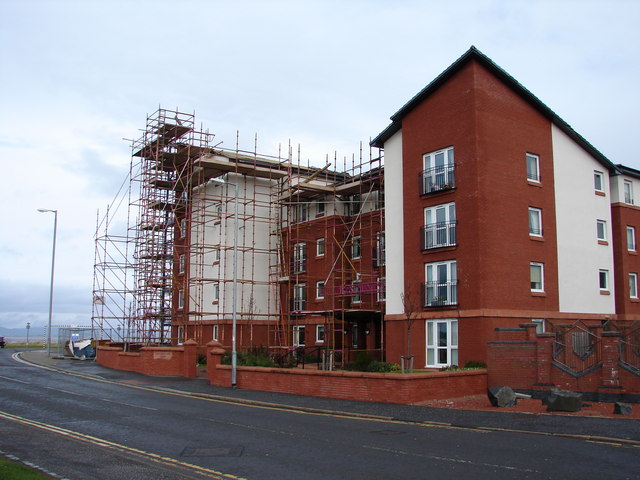
Image: © Ian Paterson Taken: 2 Mar 2008
The unconventional roof design used in these flats which were built on the site of the old gasometer at the foot of Barassie Street may need to be redesigned after being raised during strong winds.
Images are licensed for reuse under creativecommons.org/licenses/by-sa/2.0
Image Location


Leaflet Map data © OpenStreetMap
Latitude
55.546276
Longitude
-4.661241