Former opencasting on Mynydd Pen-cyrn
Introduction
The photograph on this page of Former opencasting on Mynydd Pen-cyrn by Alan Bowring as part of the Geograph project.
The Geograph project started in 2005 with the aim of publishing, organising and preserving representative images for every square kilometre of Great Britain, Ireland and the Isle of Man.

There are currently over 7.5m images from over 14,400 individuals and you can help contribute to the project by visiting https://www.geograph.org.uk
Former opencasting on Mynydd Pen-cyrn
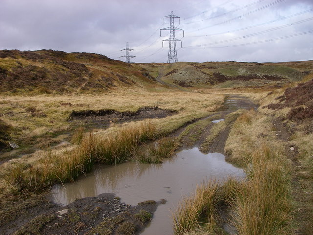
Image: © Alan Bowring Taken: 2 Mar 2008
This access track from Clydach Dingle runs through an area of moorland which was open-casted decades ago. The result today is a landscape of endless ridges and hollows now vegetated. Primary use is for grazing - and seemingly also motorbike scrambling despite the fact that it is in the Brecon Beacons National Park.
Images are licensed for reuse under creativecommons.org/licenses/by-sa/2.0
Image Location
Latitude
51.813933
Longitude
-3.171044