Cycle route 492 at Pentwyn Road
Introduction
The photograph on this page of Cycle route 492 at Pentwyn Road by M J Roscoe as part of the Geograph project.
The Geograph project started in 2005 with the aim of publishing, organising and preserving representative images for every square kilometre of Great Britain, Ireland and the Isle of Man.

There are currently over 7.5m images from over 14,400 individuals and you can help contribute to the project by visiting https://www.geograph.org.uk
Cycle route 492 at Pentwyn Road
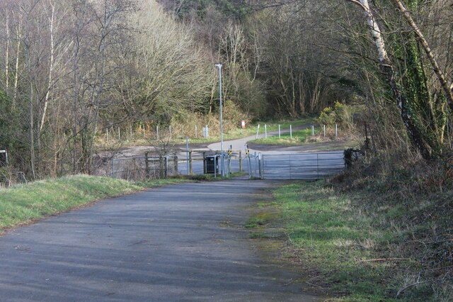
Image: © M J Roscoe Taken: 25 Feb 2022
The cycleway goes down through the squeeze stile to cross the end of Pentwyn Road and continues to the right on a former railway line Image
Images are licensed for reuse under creativecommons.org/licenses/by-sa/2.0
Image Location
Latitude
51.723655
Longitude
-3.06751