Path from western end of subway, Charlesville
Introduction
The photograph on this page of Path from western end of subway, Charlesville by M J Roscoe as part of the Geograph project.
The Geograph project started in 2005 with the aim of publishing, organising and preserving representative images for every square kilometre of Great Britain, Ireland and the Isle of Man.

There are currently over 7.5m images from over 14,400 individuals and you can help contribute to the project by visiting https://www.geograph.org.uk
Path from western end of subway, Charlesville
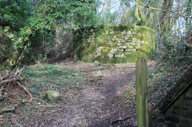
Image: © M J Roscoe Taken: 25 Feb 2022
The path from the subway Image goes up to the right to join the cycle route. The doorway, left, in the stone wall and the curved wall suggests that there was parkland/large garden on the far side of the wall which continues north.
Images are licensed for reuse under creativecommons.org/licenses/by-sa/2.0
Image Location
Latitude
51.713825
Longitude
-3.06091