Subway under cycle route, Charlesville
Introduction
The photograph on this page of Subway under cycle route, Charlesville by M J Roscoe as part of the Geograph project.
The Geograph project started in 2005 with the aim of publishing, organising and preserving representative images for every square kilometre of Great Britain, Ireland and the Isle of Man.

There are currently over 7.5m images from over 14,400 individuals and you can help contribute to the project by visiting https://www.geograph.org.uk
Subway under cycle route, Charlesville
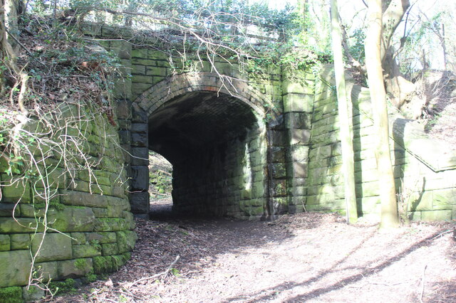
Image: © M J Roscoe Taken: 25 Feb 2022
Path from end of narrow lane goes under NCR 492 on former GWR railway. The path turns right Image at the far end of the subway.
Images are licensed for reuse under creativecommons.org/licenses/by-sa/2.0
Image Location
Latitude
51.713736
Longitude
-3.060763