Ashford Road
Introduction
The photograph on this page of Ashford Road by John Baker as part of the Geograph project.
The Geograph project started in 2005 with the aim of publishing, organising and preserving representative images for every square kilometre of Great Britain, Ireland and the Isle of Man.

There are currently over 7.5m images from over 14,400 individuals and you can help contribute to the project by visiting https://www.geograph.org.uk
Ashford Road
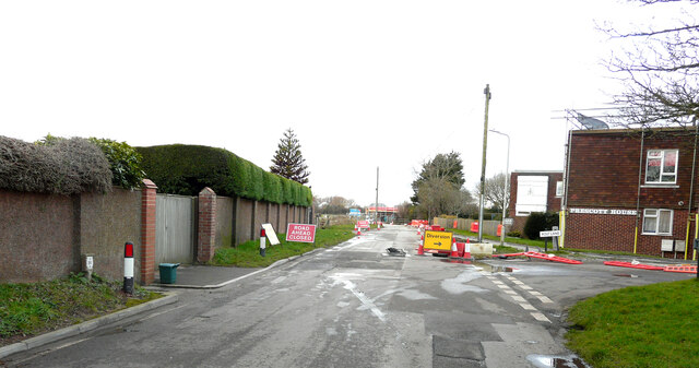
Image: © John Baker Taken: 6 Feb 2022
The road was closed between Rolfe Lane and Cockreed Lane and motorists had to make diversions using these roads. However, it was possible to drive to view the Image This was due to some of the barriers having been blown over by the wind and also that there were no contractors working on the site because it was a Sunday.
Images are licensed for reuse under creativecommons.org/licenses/by-sa/2.0
Image Location
Latitude
50.987523
Longitude
0.93761