Pond, Parrock Lane
Introduction
The photograph on this page of Pond, Parrock Lane by Simon Carey as part of the Geograph project.
The Geograph project started in 2005 with the aim of publishing, organising and preserving representative images for every square kilometre of Great Britain, Ireland and the Isle of Man.

There are currently over 7.5m images from over 14,400 individuals and you can help contribute to the project by visiting https://www.geograph.org.uk
Pond, Parrock Lane
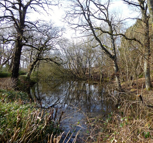
Image: © Simon Carey Taken: 26 Feb 2022
Looks like a former pit located as it is between a public highway and a steep rise in land. Most likely quarried for either marl or sandstone.
Images are licensed for reuse under creativecommons.org/licenses/by-sa/2.0
Image Location


Leaflet Map data © OpenStreetMap
Latitude
51.091352
Longitude
0.066719