Old terraced Streets at Langley Park
Introduction
The photograph on this page of Old terraced Streets at Langley Park by Robert Graham as part of the Geograph project.
The Geograph project started in 2005 with the aim of publishing, organising and preserving representative images for every square kilometre of Great Britain, Ireland and the Isle of Man.

There are currently over 7.5m images from over 14,400 individuals and you can help contribute to the project by visiting https://www.geograph.org.uk
Old terraced Streets at Langley Park
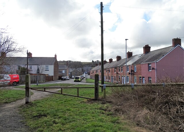
Image: © Robert Graham Taken: 21 Feb 2022
Some of the original Victorian terraces from the late 19th century founding of the mining village. The one on the right is Dale Street. Pictured from the Lanchester Valley Railway Walk, which runs along the north side of the village.
Images are licensed for reuse under creativecommons.org/licenses/by-sa/2.0
Image Location
Latitude
54.800429
Longitude
-1.673622