Cwmffrwdoer Primary School
Introduction
The photograph on this page of Cwmffrwdoer Primary School by M J Roscoe as part of the Geograph project.
The Geograph project started in 2005 with the aim of publishing, organising and preserving representative images for every square kilometre of Great Britain, Ireland and the Isle of Man.

There are currently over 7.5m images from over 14,400 individuals and you can help contribute to the project by visiting https://www.geograph.org.uk
Cwmffrwdoer Primary School
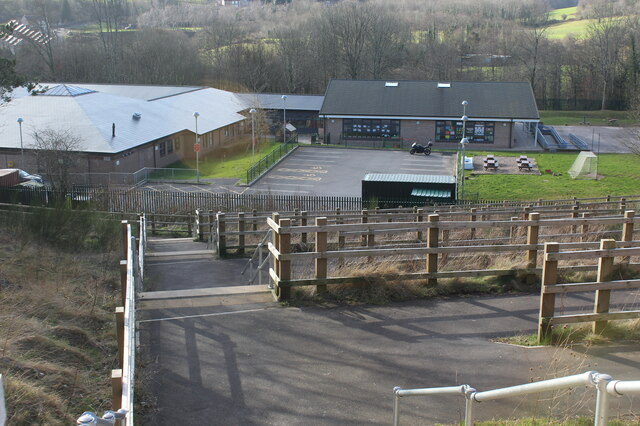
Image: © M J Roscoe Taken: 25 Feb 2022
Flights of steps and ramps from cycle route and adjacent Gypsy Lane Image down to road next to school.
Images are licensed for reuse under creativecommons.org/licenses/by-sa/2.0
Image Location
Latitude
51.710898
Longitude
-3.066341