Roman Road, Broadstone
Introduction
The photograph on this page of Roman Road, Broadstone by Malc McDonald as part of the Geograph project.
The Geograph project started in 2005 with the aim of publishing, organising and preserving representative images for every square kilometre of Great Britain, Ireland and the Isle of Man.

There are currently over 7.5m images from over 14,400 individuals and you can help contribute to the project by visiting https://www.geograph.org.uk
Roman Road, Broadstone
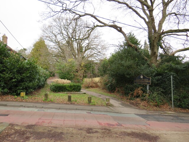
Image: © Malc McDonald Taken: 7 Feb 2022
This path follows the route of an old Roman Road along the boundary of Broadstone and Corfe Mullen. The boundary itself is just to the left of the path. The boundary is also a boundary of two unitary authorities, Dorset Council and Bournemouth, Christchurch & Poole (BCP) Council. BCP has absorbed the Borough of Poole, whose sign continues to stand alongside the road.
Images are licensed for reuse under creativecommons.org/licenses/by-sa/2.0
Image Location
Latitude
50.761342
Longitude
-2.011432