Field boundary, Picketlaw
Introduction
The photograph on this page of Field boundary, Picketlaw by Alan O'Dowd as part of the Geograph project.
The Geograph project started in 2005 with the aim of publishing, organising and preserving representative images for every square kilometre of Great Britain, Ireland and the Isle of Man.

There are currently over 7.5m images from over 14,400 individuals and you can help contribute to the project by visiting https://www.geograph.org.uk
Field boundary, Picketlaw
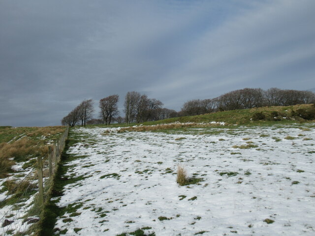
Image: © Alan O'Dowd Taken: 25 Feb 2022
Remnants of the previous day's snowfall were melting rapidly in temperatures of about 7 or 8 degrees Celsius.
Images are licensed for reuse under creativecommons.org/licenses/by-sa/2.0
Image Location
Latitude
55.732019
Longitude
-4.279792